GIS Mapping Application
Explore and navigate your city!
DESCRIPTION
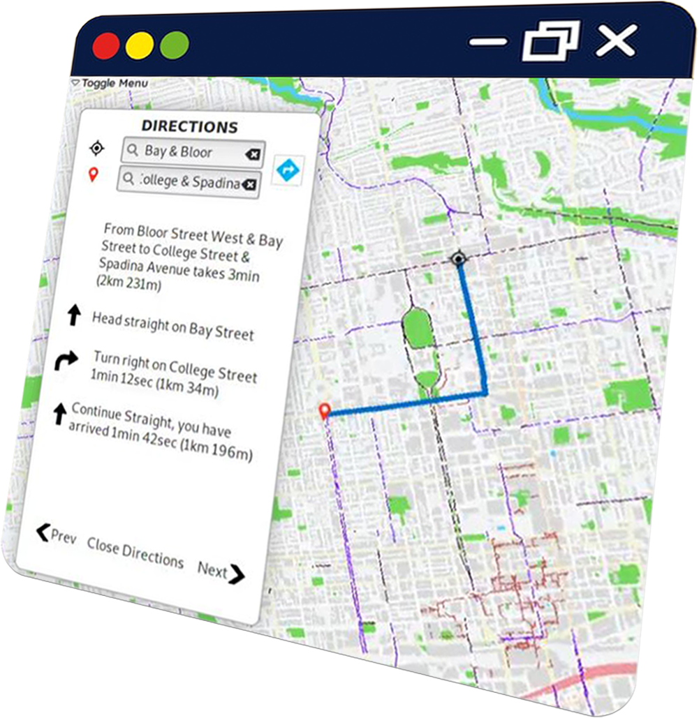
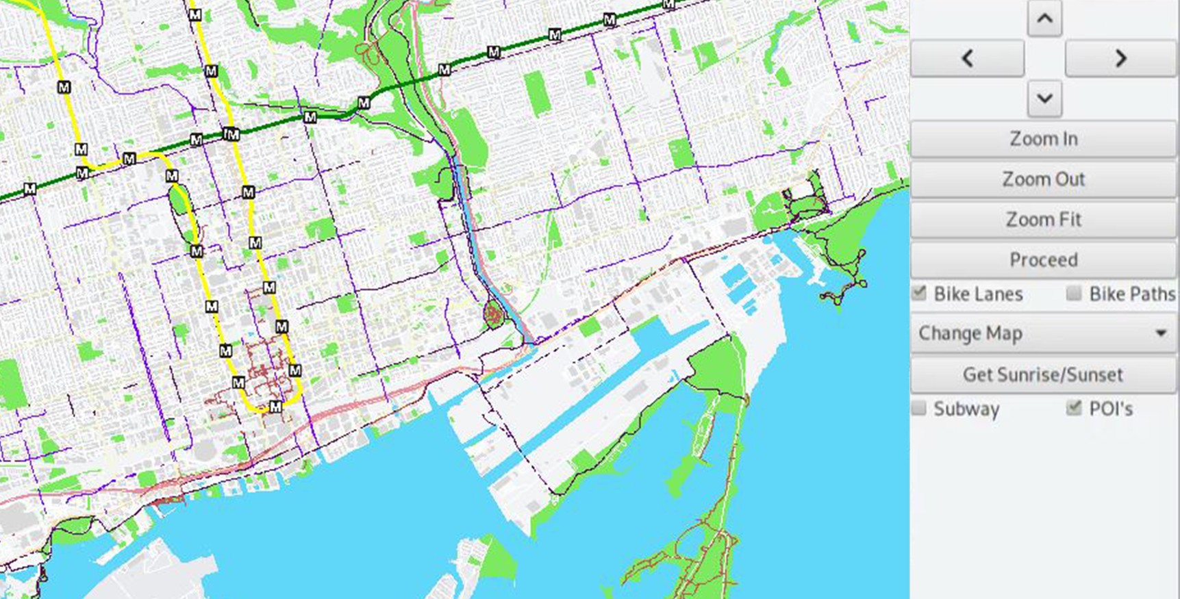
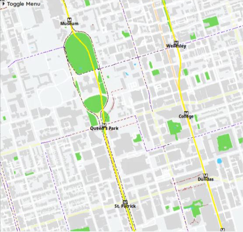
A graphical mapping application that allows users to navigate their city via roads, paths, and subway, show points of interest (such as restaurants, banks, shops, etc.), and search for directions from point A to point B. With emphasis towards cyclists, this map also shows bike lanes/bike paths, including type of bike lane (such as whether or not there is a barriered bike lane), custom points of interest (such as bicycle-share/rental dropoff/pickup locations, drinking fountain locations, washrooms etc.), and sunrise/sunset times for the day.
SKILLS LEARNED
- C++
- Git & Version Control
- Computer Graphics
- Linux Development
VIDEO
GALLERY
View Image
View Image